


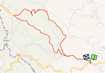

12.3 km | 15.6 km-effort


User


FREE GPS app for hiking
 SityTrail
IGN / Geographical institutes
SityTrail World
The world is yours!
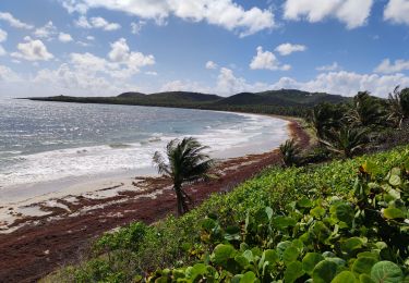
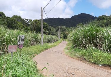
Trail Walking of 8.2 km to be discovered at Martinique, Unknown, Le Vauclin. This trail is proposed by chichine.
randonnée


Walking
Walking
Walking
Walking
Walking

Walking

sport

Walking

Walking
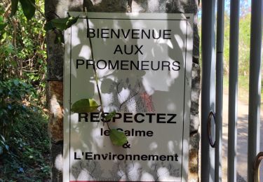
randonnée particulièrement belle a partir du chemin de croix